Frequently Asked Questions
Frequently Asked Questions
Below you’ll find answers to some of the more frequently asked questions.
If you have any other questions, don’t hesitate to give us a call or contact us online.
How do I go about subdividing a property?
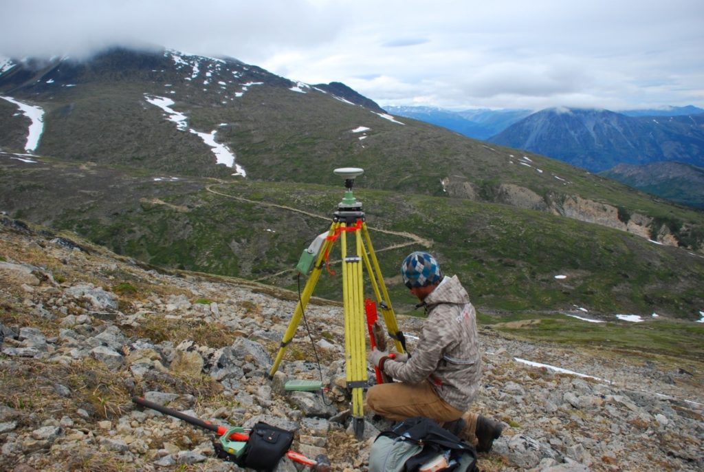
Sub-Arctic will need to know how you would like to subdivide the property. We will review zoning by-laws, and will send a surveyor to your property to compile the necessary data. This information is sent to the Municipal and Community Affairs department of the Government of the Northwest Territories. If the property is approved for subdivision, the surveyor can then proceed with the project and register the Plan of Survey with the Land Titles Office in Yellowknife.
How much does it cost to subdivide a lot?
The cost to subdivide a parcel of land varies considerably, but Sub-Arctic can usually provide a fairly accurate estimate of a project’s cost. Some factors that influence the cost of a survey are:
- The community in which the property is located (travel and accommodation costs)
- The size of the parcel of land and the number of lots to be created
- Whether line cutting is necessary
- How recent the adjacent surveys are and how significant the survey evidence in the area is
How long does it take to subdivide a parcel of land?
From start to finish, a project may take from 3-6 months to complete provided that subdivision approval is readily forthcoming and there are no complications. The length of time is dependent on a number of factors.
- The length of time it takes to obtain approval from local government. In some communities, the proposed subdivision must be seen by the community development officer. In other communities, the proposal must be submitted to the town council.
- Whether mortgages and caveats have been registered against the title to the land. The Land Titles Office requires all encumbrances to sign the Plan of Survey acknowledging that their rights may be affected by the transfer of the land.
- The time it takes to review. All Plans of Surveys are submitted for review to the Canada Centre for Cadastral Management, Legal Surveys Division. Once the plans are reviewed there, they are forwarded to the Municipal and Community Affairs department who will confirm the survey is the same as the sketch.
- The Plan of Survey is then forwarded to the Land Titles Office for registration.
What is a Real Property Report?
A Real Property Report is a document which illustrates the location of a building in relation to the property boundaries. It will state the present owner(s) of the property and the number of the Certificate of Title.
The document will also indicate any eaves, decks, steps, fuel tanks, easements, retaining walls and fences that are relevant to the property. The document will also indicate whether or not the building encroaches onto other properties and whether other buildings encroach onto the property. Real Property Reports were previously called Mortgage Certificates or Surveyor’s Certificates.
Why do I need a Real Property Report?
Real Property Reports are required by finance companies to insure that a building has been constructed on the property and that there are no factors that would affect their interests in the property. Real Property Reports are also required by municipalities to confirm that the building constructed on the property conforms to the setback requirements of the zoning by-laws.
How much do they cost?
Costs will depend on the location of your building in the community, the survey evidence in the area, the time of year and the nature of the building. The cost of an RPR is based on the amount of time that the field crew spends on the project. The more time spent searching for survey evidence the higher the cost. As well, the more features (eg. deck, fence, sheds, etc.) that have to be accounted for, the more time is spent on the project and thus a higher cost.