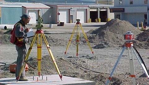
We provide survey services to the construction industry by locating the foundations for buildings, pilings, and pads in relation to the property boundaries using state-of-the-art Global Positioning Systems (GPS) and total stations (electronic/optical instruments used in modern surveying and building construction) to accurately layout foundations and pilings.
The following are some of our services commonly provided on construction projects.
Earthmoving
Grade Layout, Volume Surveys, As-Built Surveys.
Highways
Road layout, quantities, drill and blast support, original topos and as-builts drawings.
Environmental Work
Feature layout and as-built drawings for any environmental reclamation or construction project.
Monitoring and Deformation Surveys
Using high precision equipment, we have measured year-year changes in structures throughout the north. This includes earth-dams, ice-roads and buildings.
Control Surveys
We are able to establish control networks for any size of project, site, highway or community. Using high precision survey instruments combined with excellent survey practices and redundant measurements, we can provide accurate survey control, anywhere.
Landforms
Layout, topo, drainage calculations, as-built and quantity surveys.
Quantity Surveys
Accurate and cost-efficient volumetric surveys in any location.
Drill/Blast Support
Layout of drill holes and grades.
Pile Layout
We can ensure piles are placed accurately to save project time and costs.
Hydrographic Surveys
For lakes, rivers and streams, the mapping of sub-surface features and contours can be critical to design and quality control. We can provide hydrographic surveys on request.
Building Layout Municipal Service Layout


